My Projection Collection:
Compare Projections
Natural Earth vs. Natural Earth II
| Natural Earth | Natural Earth II | |
|---|---|---|
| Creator | Tom Patterson (2011) | Tom Patterson, Bojan Savric, Bernhard Jenny (2015) |
| Group | Pseudocylindric | Pseudocylindric |
| Property | Compromise | Compromise |
| Other Names | — | — |
| Remarks | Not to be confused with the Natural Earth II World Environment Map (also by Tom Patterson), which is used in nearly all projection images here. | The Natural Earth II is a new pseudocylindrical projection with a highly rounded shape. At high latitudes the meridians bend steeply inward to short pole lines. Compared to other rounded projections, such as the Aitoff and Mollweide (…), the Natural Earth II bulges out less on the sides, filling more of the printed page with your map. Continents look familar without the north-south streching found on the Eckert IV. The Natural Earth II has areal distortion values similar to those of the popular Robinson and Winkel Tripel projections. (Quoted from the projection’s introduction) Not to be confused with the Natural Earth II World Environment Map (also by Tom Patterson), which is used in nearly all projection images here. |
| recommended comparisons | Natural Earth II Robinson |
Aitoff Eckert IV Mollweide Robinson Winkel Tripel Natural Earth |
|
This pairing is among the list of recommended pairings – but why? When Natural Earth II was introduced, the creators showed this pairing, too. |
||
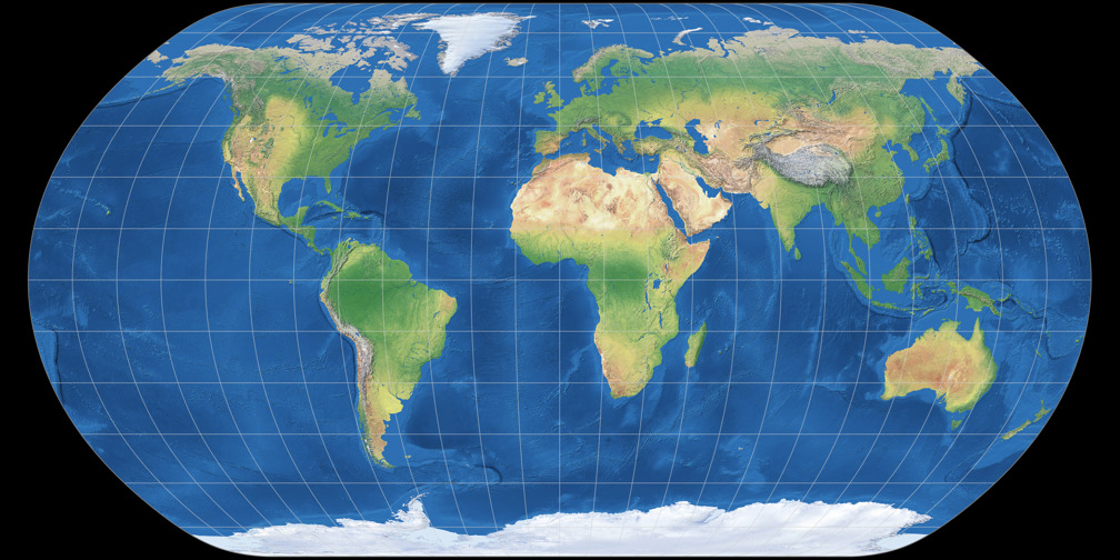
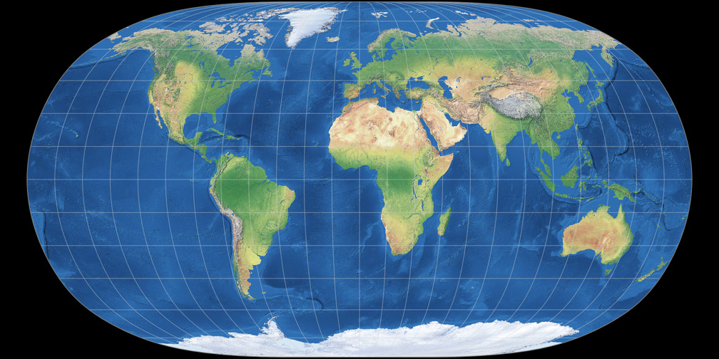
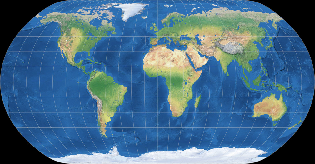
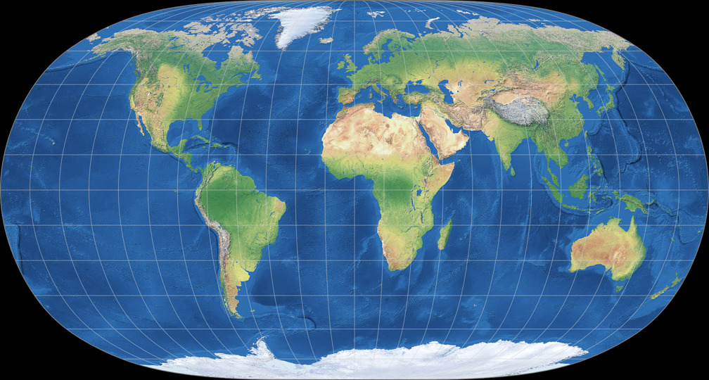
1. Comparison: Physical Map – scaled to fit
Natural Earth
Natural Earth II
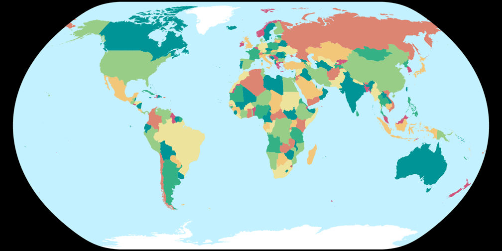
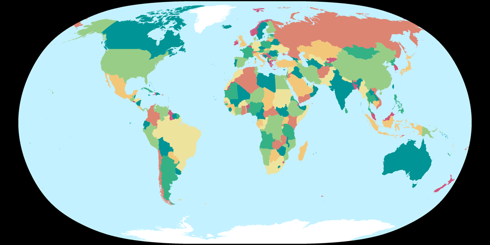
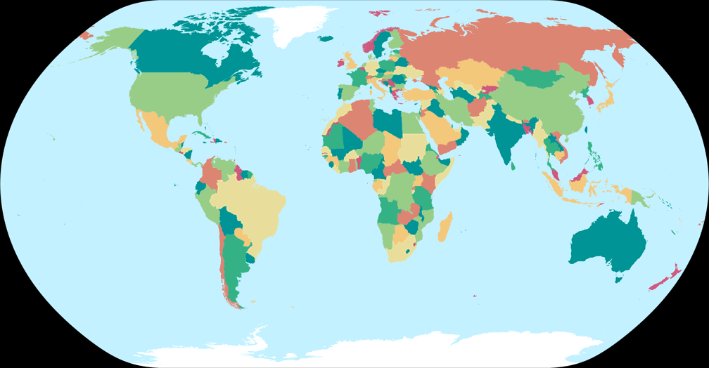
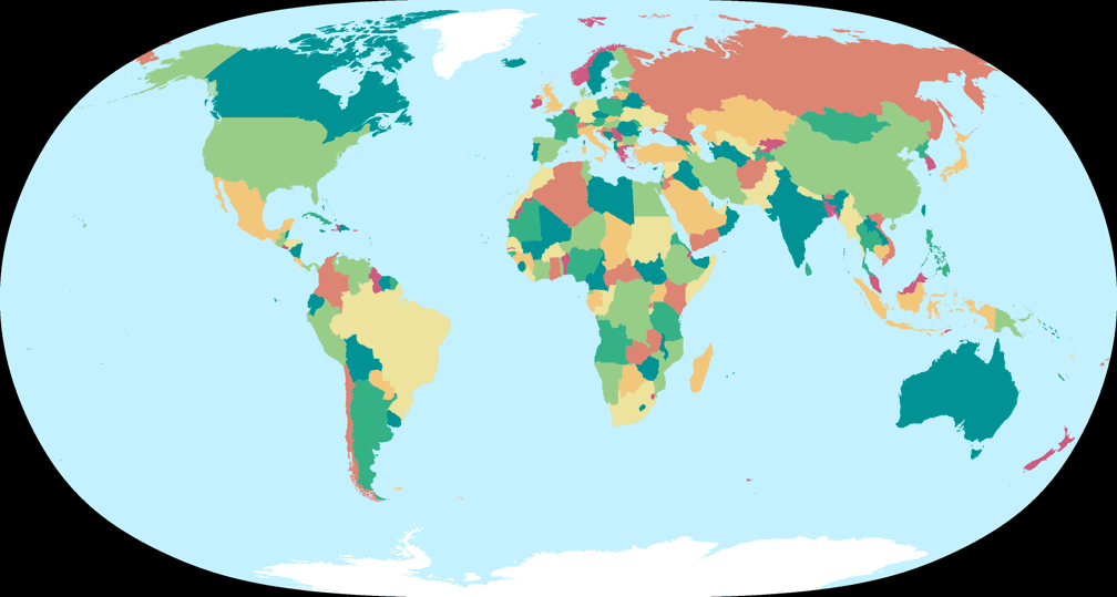
2. Comparison: Political Map – scaled to fit
Natural Earth
Natural Earth II
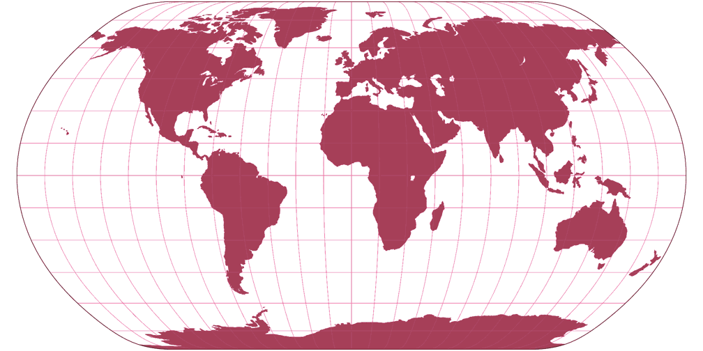
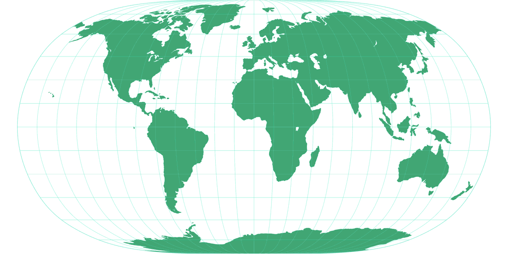
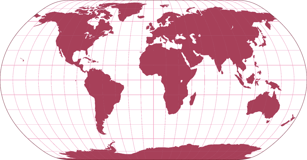
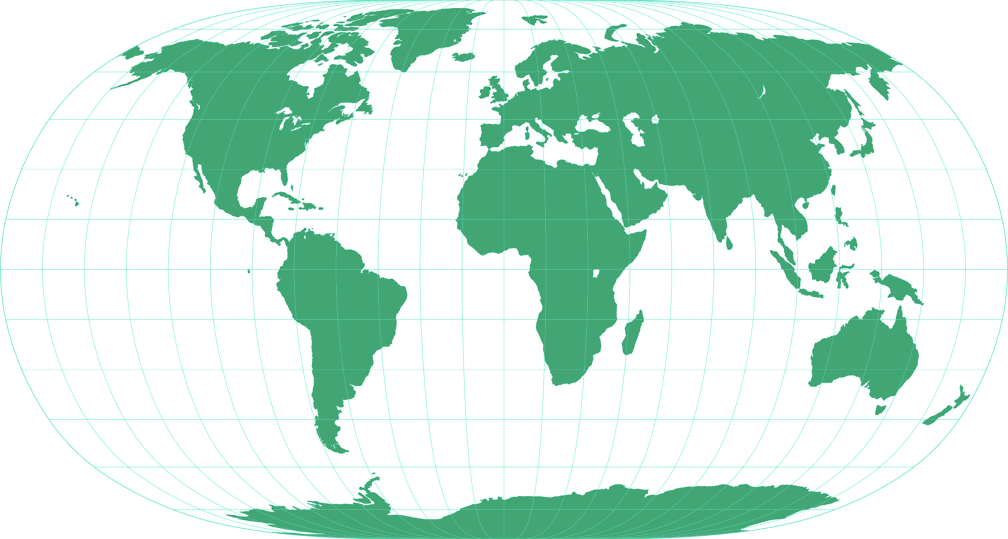
3. Comparison: Silhouette Map – scaled to fit
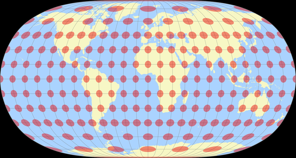
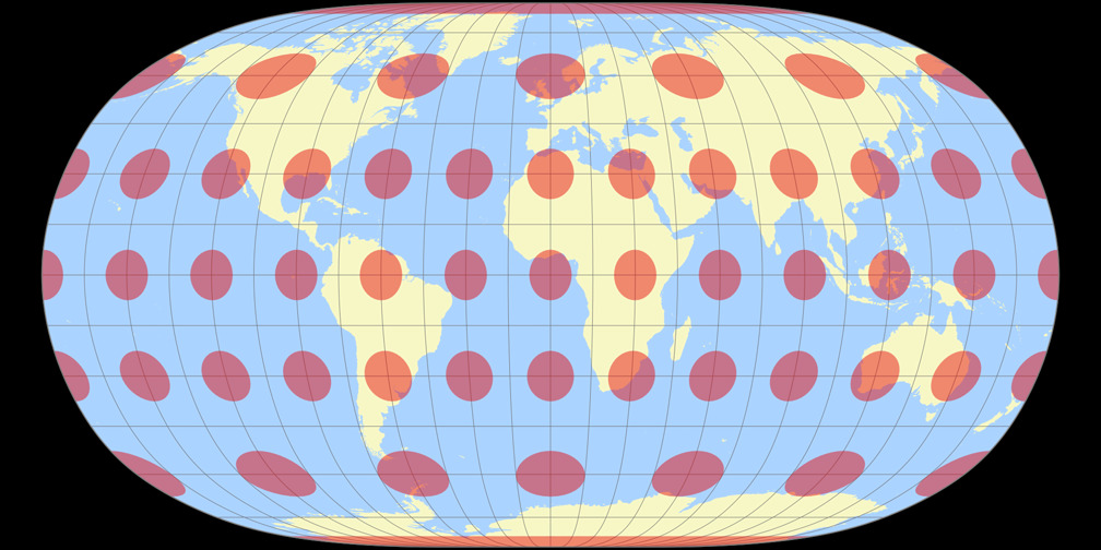
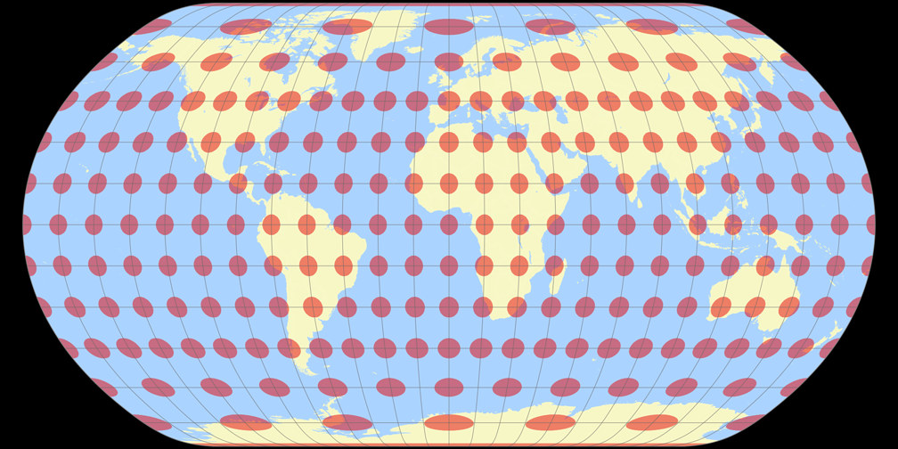
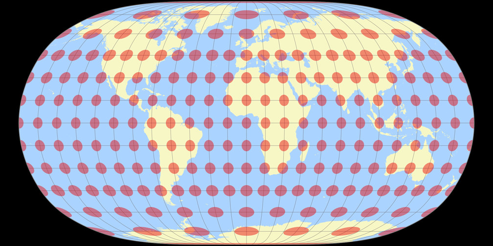
4. Comparison: Tissot Indicatrix, 30° – scaled to fit
Natural Earth
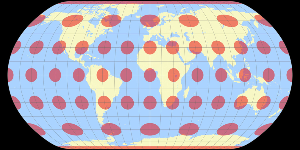
Natural Earth II
5. Comparison: Physical Map – scaled to same width
Natural Earth
Natural Earth II
6. Comparison: Political Map – scaled to same width
Natural Earth
Natural Earth II
7. Comparison: Silhouette Map – scaled to same width
8. Comparison: Tissot Indicatrix, 30° – scaled to same width
Natural Earth

Natural Earth II

9. Comparison: Tissot Indicatrix, 15° – scaled to fit
Natural Earth
Natural Earth II
10. Comparison: Tissot Indicatrix, 15° – scaled to same width
Natural Earth

Natural Earth II