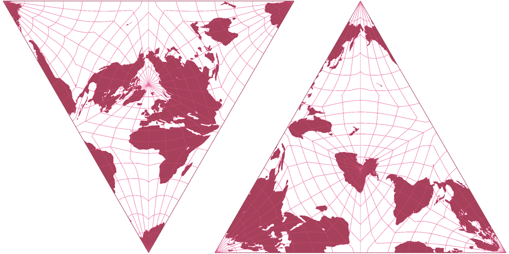
Snyder’s Tetrahedron (2x)
| Snyder’s Tetrahedron (2x) | |
|---|---|
| Creator | John P. Snyder (1992) |
| Group | Polyhedral |
| Property | Equal-area |
| Other Names |
|
| Remarks | A.D. Bradley described Irving Fisher’s equal-area polyhedral map projection in 1946. Snyder improved and generalized Fisher’s method. The projection is shown twice here, in the north polar and the south polar aspects. I just didn’t want to waste too much space… ;-) |
Jump to different depiction of this projection:
Specified in [square brackets]: Actual size of the projection
(minus the black or white background).
When marked with [≈], sizes with and without
background are approx. the same.

