License information for Political World Map (Wagner VI)
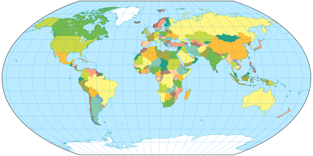
| Description | Political world map, projected to Wagner VI Projection. | |||
|---|---|---|---|---|
| Size(s) | 1003 × 502 | (331.5 KB, image/png) | Show (new window) | |
| 200 × 100 | (9.82 KB, image/png) | Show (new window) | ||
| License |
 Political world map (Wagner VI) by Tobias Jung is licensed under a Creative Commons Attribution-ShareAlike 4.0 International License. Own work. Made with Natural Earth. Free vector and raster map data @ naturalearthdata.com. mapshaper.org was an invaluable help. |
|||
Old Versions
| Replacement Date | Thumbnail | Comment |
|---|---|---|
| Wed Aug 09, 2017 |
 |
For several reasons, I wanted a map… |
Use this file in own projects
Downloading and using the image is allowed within the scope of the above-mentioned licence.
Please use the build-in functions of your web browser to download the image above.
To share the image, use the
single view.
The nifty little download function that used to be here (to download the image with a single click and to prevent file name conflicts with other images of the same projection) was removed due to heavy traffic caused by bulk downloads. Sorry!
Use this file on the web
Please respect the terms as stated in the CC BY-SA 4.0 License.
Whenever possible, please download the image to install it on your own website rather than using the
File URL given above to embed it.
Further Images of Wagner VI
Note: Occasionally, the variants of »other« sizes might be almost or even exactly the same size.
Specified in [square brackets]: Actual size of the projection
(minus the black or white background).
When marked with [≈], sizes with and without
background are approx. the same.
Other depictions
- Wagner VI, physical map (1008 × 504) [1000 × 502]
- Wagner VI, physical map (1008 × 505) [≈]
- Wagner VI, thumbnail (flat ocean) (200 × 100)
- Wagner VI, physical map (flat ocean) (1008 × 504) [1000 × 502]
- Wagner VI, physical map (flat ocean) (1008 × 505) [≈]
- Wagner VI, political map (1008 × 504) [1000 × 502]
- Wagner VI, political map (1008 × 505) [≈]
- Wagner VI, Tissot indicatrix, 15° (1008 × 504) [1000 × 502]
- Wagner VI, Tissot indicatrix, 15° (1008 × 505) [≈]
- Wagner VI, Tissot indicatrix, 30° (1008 × 504) [1000 × 502]
- Wagner VI, Tissot indicatrix, 30° (1008 × 505) [≈]
- Wagner VI, green silhouette map (1008 × 504) [1000 × 502]
- Wagner VI, green silhouette map (1008 × 504) [≈]
- Wagner VI, red silhouette map (1008 × 504) [1000 × 502]
- Wagner VI, red silhouette map (1008 × 504) [≈]
Figures in Articles
- World map using Wagner VI Projection (Ocean with layered depth tints)
- Political world map, projected to Wagner VI Projection.
- Climatic world map, projected to Wagner VI Projection.
- Climatic world map, projected to Wagner III Projection with standard parallels set to 40° N/S.
- Time Zones of the World (October 2015), projected to Wagner V Projection
- Airline traffic world map, projected to Wagner VI Projection.
- Decorative world map, projected to Wagner VI Projection.